Across North Carolina: Volume VII | Eastern NC Now
This is the seventh of a new series of images from across North Carolina from my travels, and from the long intervals that I have spent with my camera making a record of where I have been.
Where do you stand on the Transgender Issue now that the issue has gotten to the overt point of the open celebration of this lifestyle choice, dictated by certain direct and explicit actions.
91.07% I do not approve of behavior that has within its expressed tenants policies that harm children.
8.04% I do support the Trans Community in all its many facets because diversity is at a premium in today's society.
0.89% What is a "Children's Drag Queen Story Hour?"
Publisher's note: Please be aware that we have created a new fixture at the foot of this post, describing the location of some of North Carolina's most memorable scenic points of interest, is our interactive map that we developed to do exactly what we want it to do ... for now.
Why am I going back and installing these interactive maps? Simply, folks like to use them because our newer posts are getting more views faster than the older posts did. Providing yet another 'leading edge' product that works is a good enough reason for me.
This is the seventh of a new series of images from across North Carolina from my travels, and from the long intervals that I have spent with my camera making a record of where I have been. Upon examination of these random images, I concluded that best format would be the one page arrangement, where I cut the images to 1280 pixels wide, arrayed in a wide viewed 'fancybox' series, where there is a title of explanation, and maybe a bit more, but mainly, the photo should speak rather than my words. In fact, I plan to put my words on hold for a bit here, which will be to the fine relief of a great many.
Each series will be random and varied; however, most will center from here in eastern North Carolina, which is closer to my home in northeastern North Carolina, in the county of Beaufort, and the county seat of Washington, my home. From this perspective, we will reach out beyond the myriad waters: fresh and calm, brackish and moving, salty with powerful waves, and get to see North Carolina, where we may know it a little better, if only through images.
This random display of images of North Carolina, made by the Tar Heel traveler, may have been revealed earlier in BCN, and when I can remember a relative series, I shall link to it; however know that this series of ongoing themes will remain that there is no theme. In this random projection of unrelated images, the series will seek its relevance, its beauty and its strength of purpose.
The Seventh Pictorial Trek from Here to There and Back Again
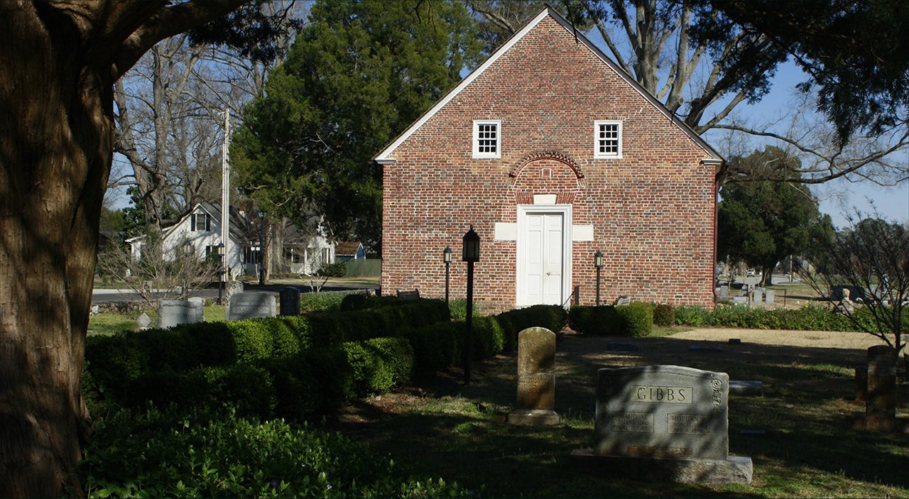
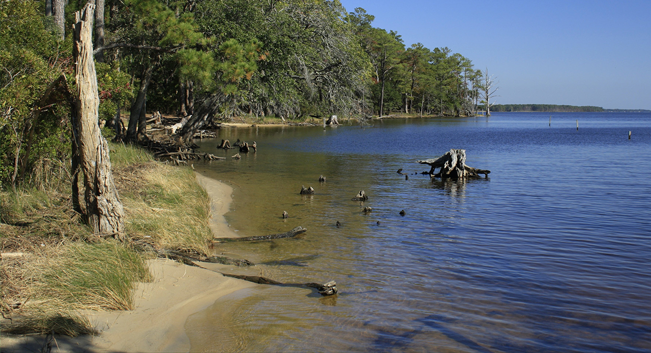
We begin in Beaufort County, formerly part of Bath County, where there once stood the first colonial capital of North Carolina. St. Thomas Church, the oldest in North Carolina, still stands here: Above. Just a few miles west from Bath on the Pamlico River is the Goose Creek State Park shoreline: Below.photos by Stan DeatherageClick images to expand.
While North Carolina is rural. as it is in Beaufort County, there are also great cities, some of the greatest in the South.
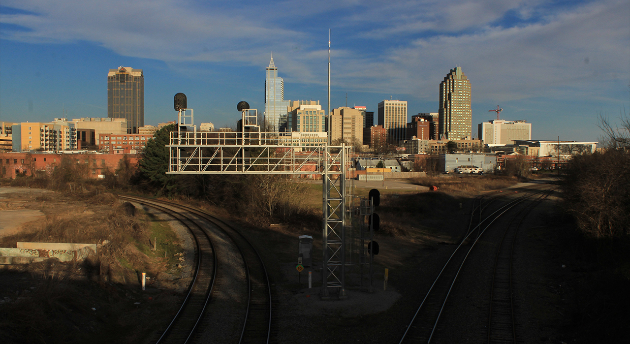
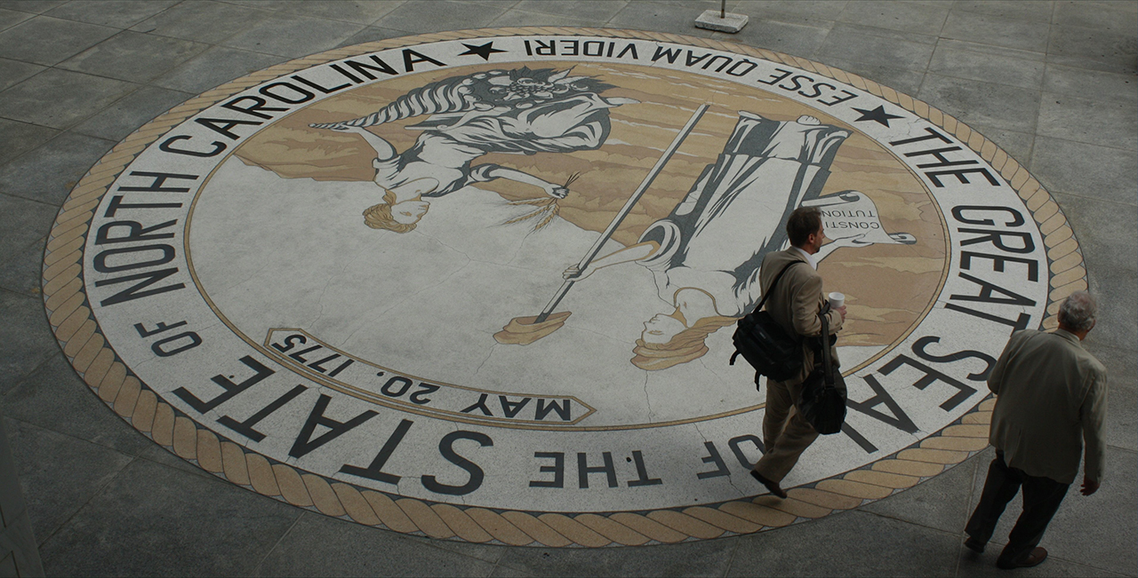
Downtown of an expansive Raleigh, North Carolina from the Boylan Avenue bridge, looking east upon the present Capital City: Above. The reason for Raleigh's existence - government - is just one of the many industries of North Carolina's second largest city: Below.photos by Stan DeatherageClick images to expand.
Raleigh and Charlotte, the denizens of the North Carolina Piedmont are connected by sprawling interstates; that very corridor, the population center of one of the South's most populace states, third after Texas and Florida.
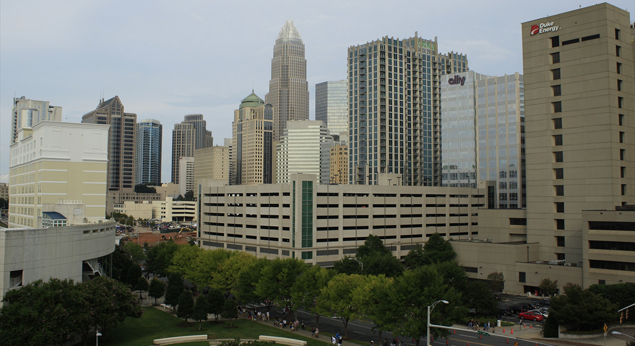
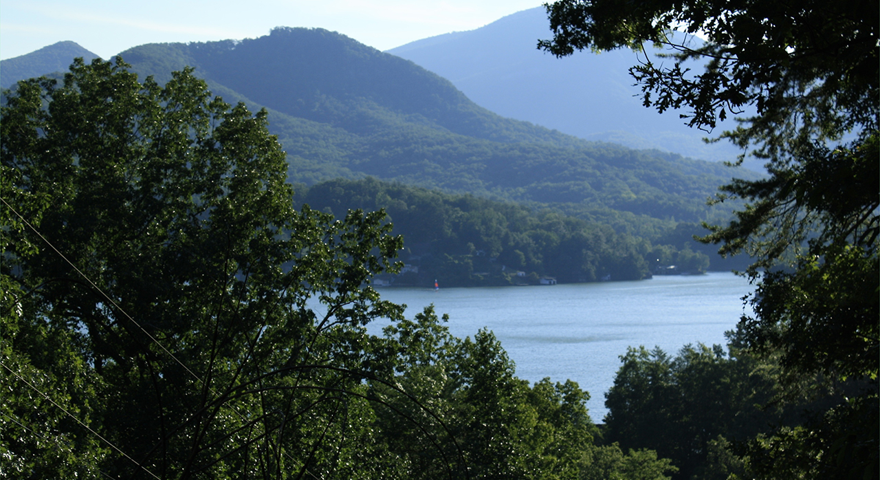
North Carolina's Queen City, in the Great State of Mecklenburg, its largest city, and one of the largest and fastest growing cities in the South: Above. Just about 100 miles west and north from Charlotte, the Appalachia mountains begin in great earnest, here in the Lake Lure area: Below. photos by Stan DeatherageClick images to expand.
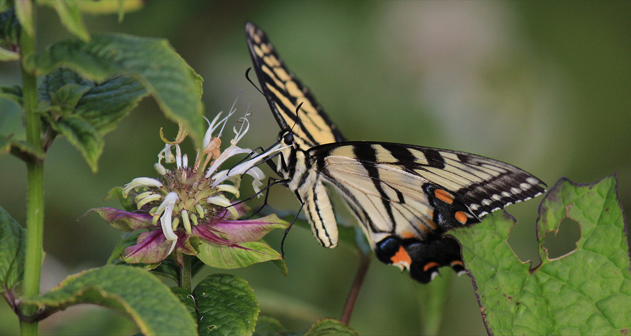
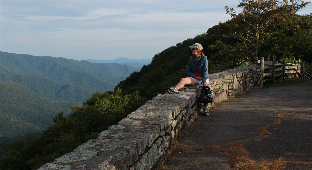
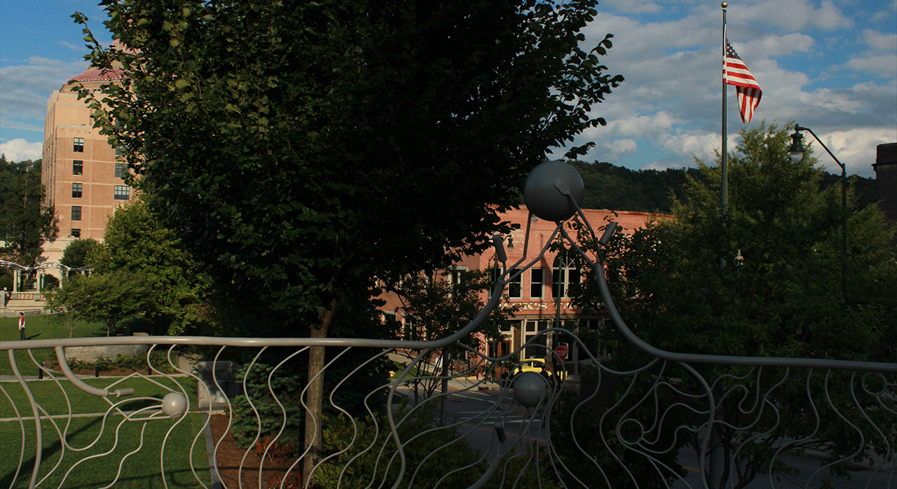
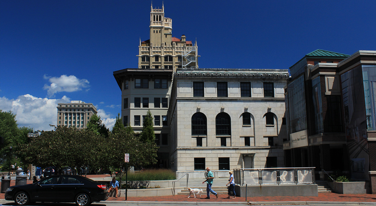
Along the Blue Ridge Parkway, there are small things in large places, and none are larger geologically than the mountains northeast of Asheville, North Carolina.
A butterfly finding nectar: Above. A visitor to these lower shoulders of the Black Mountains finding peace: Below.photos by Stan DeatherageClick images to expand.
There is much to do in Asheville, not least of which is walking about and making images: Above and below. photos by Stan DeatherageClick images to expand.
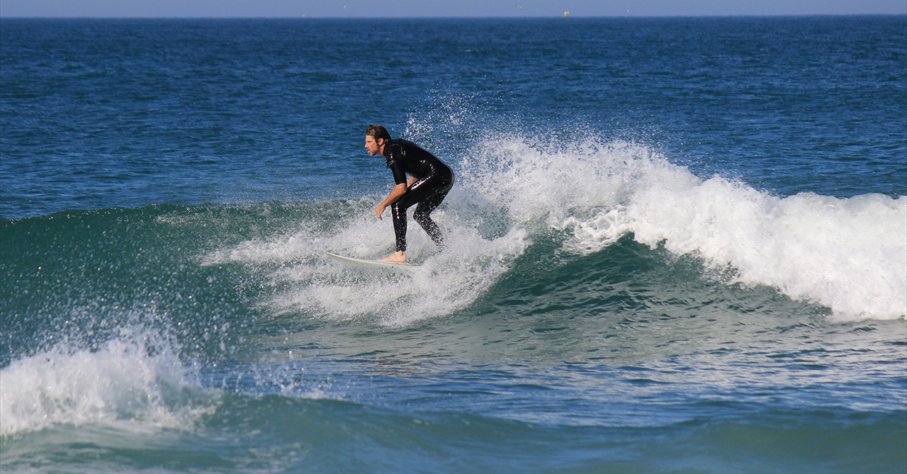
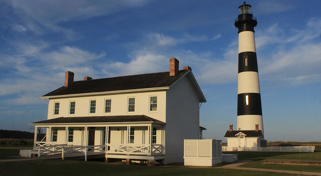
Way back east, about as far east as one can go in North Carolina is Nags Head along North Carolina's Outer Banks.
Excellent surfing in some fine waves at Nags Head: Above. And the iconic lighthouse, Bodie Island Station just a few miles further south at Oregon Inlet: Below.photos by Stan DeatherageClick images to expand.
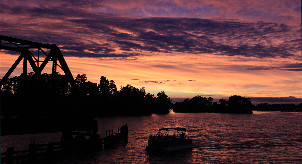
Oh to be home once again ...
Where I always finish with a sunset image over the Pamlico River in Washington, NC: Above. photo by Stan DeatherageClick image to expand.
We'll do another one of these as the time becomes ready and appropriate. At your leisure, please follow this link to the growing list of this pictorial series - "Across North Carolina".
Below is our new interactive map that will show where all the pictures were made, and if you wish, you can get the distances and directions to these vistas. Also, you can interact with the map by placing your address in the "Enter an Address or Place & Click Find" field, and then click find to get best directions and mileage between your address and the chosen subject site. More features to follow.


This series may never come to an end, and I will never us the same picture twice.
I take pictures.