"Every Picture Tells a Story ... Don't it:" The Southern North Carolina Coast: Part II | Eastern North Carolina Now
Water, water everywhere and the cradle of much of North Carolina's rich history.
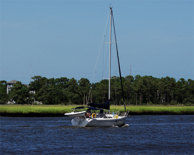
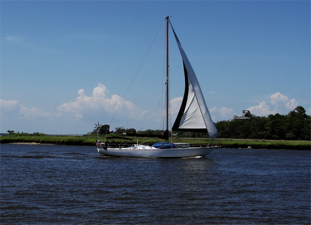 Snow's Cut on the northern shore of Carolina Beach State Park is one leg of the Intracoastal Waterway through New Hanover County and into the Cape Fear River. Here on Snow's Cut near the outlet to the Cape Fear River sailboats and other watercraft make their way through this man made waterway: Above and below.
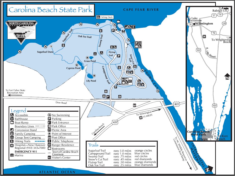
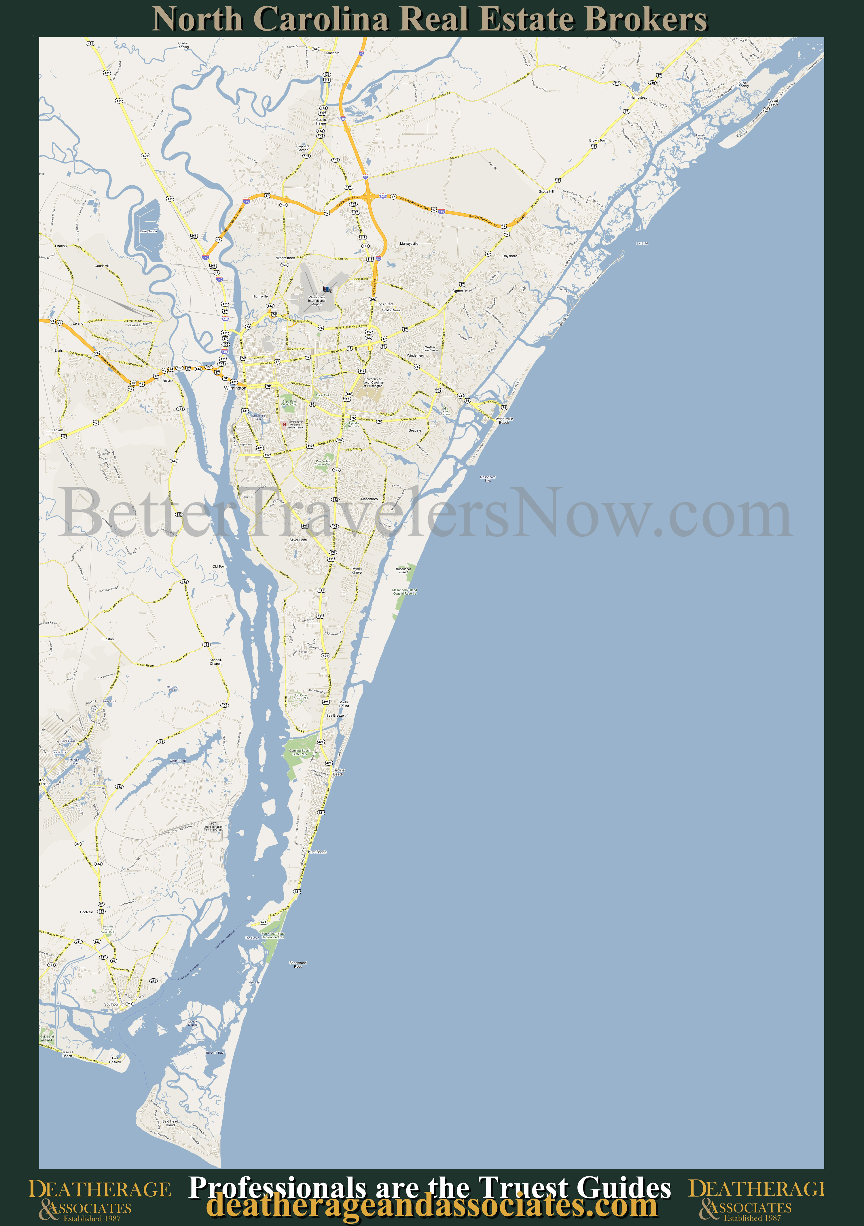 Carolina Beach State Park can be found in the peninsula east of the Cape Fear River. Click on the map to see an enlarged view of the area: Above. The Carolina Beach State Park Map may be clicked on as well to get an enlarged view of the map of the park: Below.
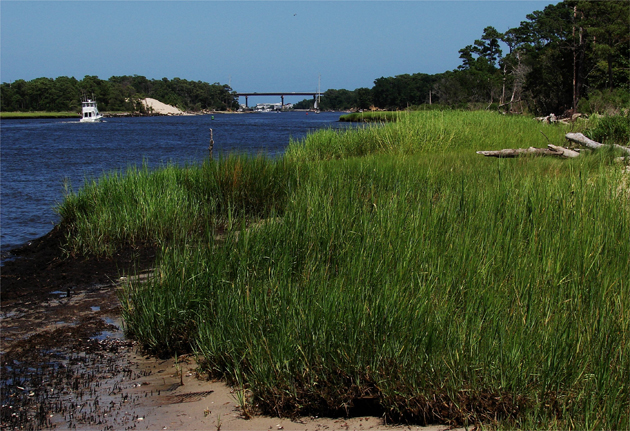
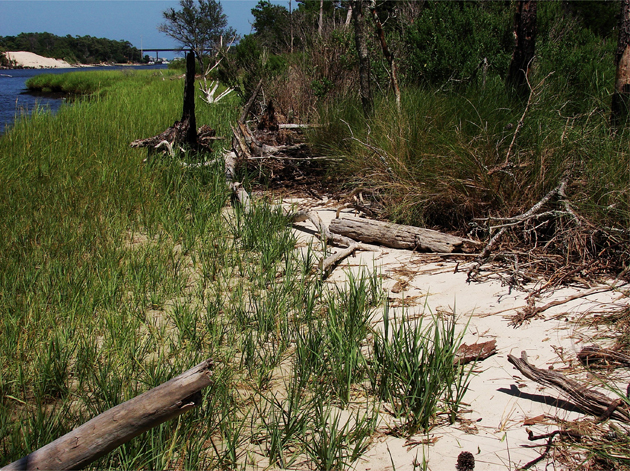 Along the northern shore of Snow's Cut (Intracoastal Waterway) there is a high sandy beach littered with the water-logged sun bleached trees from fallen medium growth forest that holds the inner shoreline of Carolina Beach State Park: Above. Finding a worthy home along that shoreline are huge tribes of a local version of the ever popular Sand Fiddler Crabs: Below.
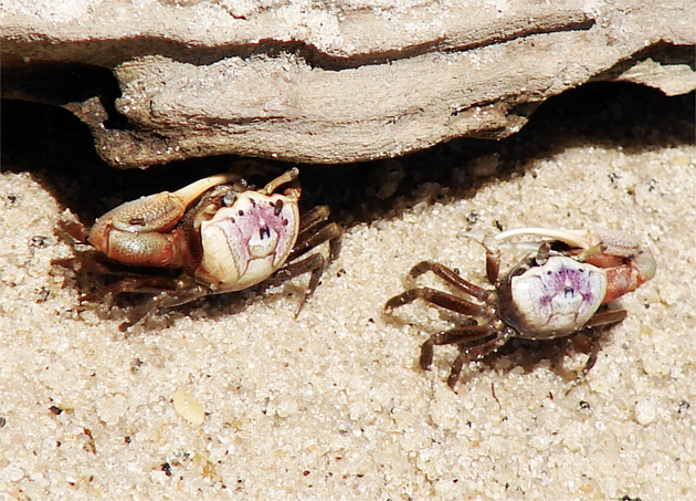
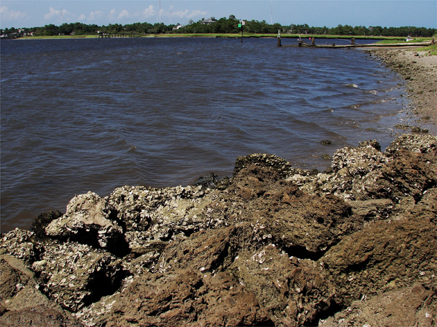
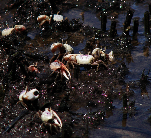 The Carolina Beach Sand Fiddlers tend to congregate in hordes along the shoreline - be it sand or muck: Above. The natural debris strewn shoreline of the the Carolina Beach State Park: Below.
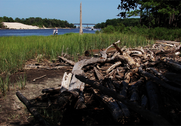
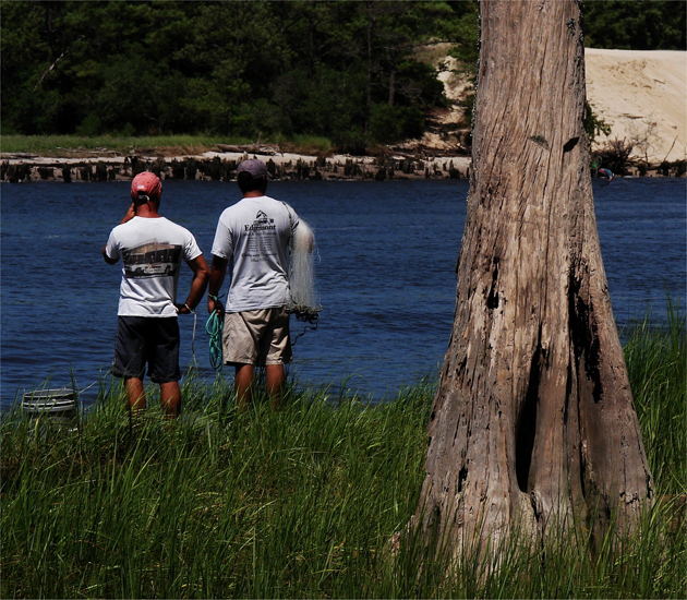 Snow's Cut, for all its watercraft traffic, must be a fine resource for seafood. The two gentlemen are considering where to throw their shrimp nets from the northern shore: Above. It really was a lovely spirited walk along that shoreline until I reached the mouth of the Cut: Below.
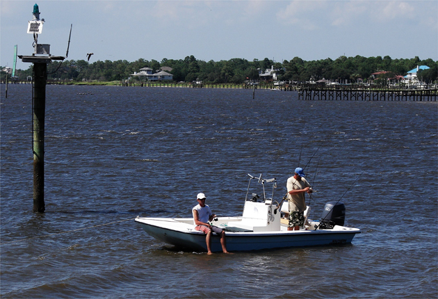
 At the mouth of Snow's Cut and the lower Cape Fear River, the fisher is pretty good too: Above and below.
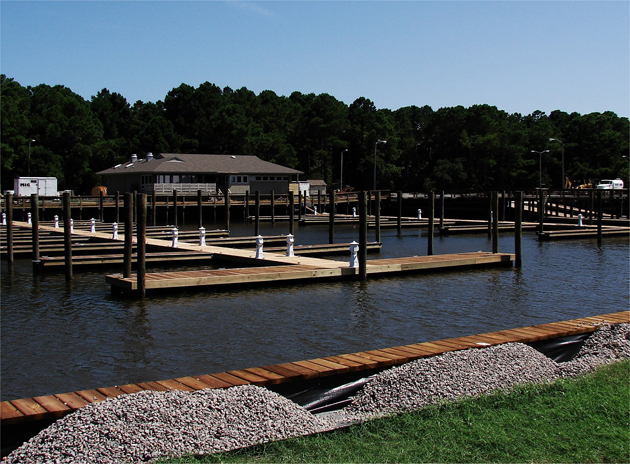
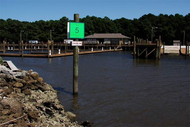 Just a few hundred feet around the bend from where the men in the previous picture were fishing is the brand new 42 slip inland basin marina. This deep water, and very well protected, port is an outstanding resource for the folks in the Carolina Beach area: Above and below.
| An Autumn Experience: The Northern Outer Banks | Body & Soul, "Every Picture Tells a Story ... Don't It:" On the Road, Travel | The Smell of Coffee is in the Air, and it’s not Even Monday Morning |