Spanning North Carolina: Sunsets - from the Croatan Conservancy to the Moses Cone Mountains | Eastern North Carolina Now
I have bunches of images from my travels across North Carolina, many that I have never shared. Often, my travel partner (my wife, Lynn, and I ) like to take hikes to rather remote places and we take pictures: me with my Canon DSLR, and she with her fine phone's camera.
Under the cover of Covid, and now in the shadow of the infamous Election Irregularities of that fated 2020 presidential election, with current emerging alleged election fraud in Nevada and Pennsylvania inconveniently slipping into the public discourse, there is proved a colluded ongoing Election Interference in the nomination of the Republican candidate, the likes of which has never occurred in our Constitutional Republic's history, albeit, the question remains: Do you support the plain-sight Election Interference of the Democratic Socialist party, employing its minions in their Propagandistic Media, and their Two Tiered Justice System?
98.13% No, I do not support Election Interference; I am a patriot unto our Constitution.
0.93% Yes, I do support Election Interference; the alternative, Donald Trump, to this mentally diminished president is far worse.
In an image all is revealed ... well, fairly enough is revealed.
I have bunches of images from my travels across North Carolina, many that I have never shared. Often, my travel partner (my wife, Lynn, and I ) like to take hikes to rather remote places and we take pictures: me with my Canon DSLR, and she with her fine smartphone camera (the one that makes every near picture look like heightened near reality). We make the hikes, we take the pictures; she leaves her images on her smartphone; I store mine on my hard-drives, and often forget about them. That I must end.
To that end, here recently, I have taken a vow to go through all my stored images to either: delete; right, align and crop; then, title and categorize; next, properly store with backups, while considering how I might display some images at a future date on BCN or sell as prints. It is a time consuming process, but, I did travel to the location and took my time to make the images, so, something need to done, especially if I just fit all these new duties around all else I do ... and, I do much. So, let us start ...
Recently, my wife and I took a chilly trip to Nags Head, North Carolina, and since the beach was too cold, windy and rough for our visitation, we spent much of our outside time riding slowly to places we like, and taking walks on the sound side of the Outer Banks. Nor’easter Quinn had wreaked much havoc north of Nags Head, with over-wash of the Atlantic over the famous Highway 12, while south of the Herbert C. Bonner bridge, Pea Island was completely cut off from the more habitable world to the north and northeast, due to Highway 12 South being completely cut by the sand drenched wash; therefore, we confined our activities from Nag Head to Duck, NC.
Recently, we had learned of the Nags Head Nature Conservancy - over 500 acres of high, wooded dunes with much undeveloped Croatan Sound frontage. Here, the operative word is wooded, which would break the wind and provide cover for some decent and very scenic walks. We took those walks, and one evening we captured a lovely sunset over the Croatan Sound.
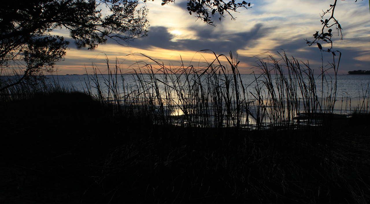
Reaching the end of Trail #5, Nags Head Nature Conservancy (about 2 miles there and back), we see the beginning of this March sunset: Above and below.photos by Stan DeatherageClick image to expand.
The breeze was much lighter on the sound side of Bodie Island, and the walking, while chilly in the mid forties degrees Fahrenheit, pleasant as day's light was dimming.
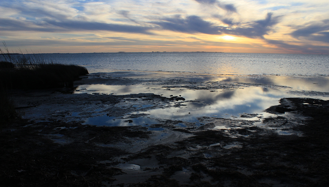
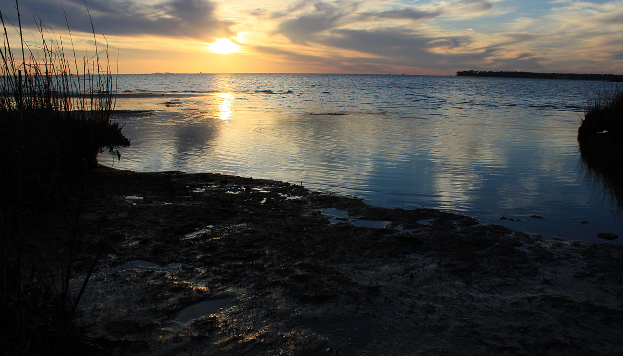
With the light limited, the sun perched low behind the thinning clouds, we look north along the rugged beach: Above. The Croatan Sound widens as it courses north, here we look across the sound to the North Carolina mainland and the mouth of the Albemarle Sound: Below.photos by Stan DeatherageClick image to expand.
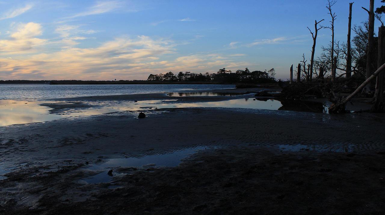
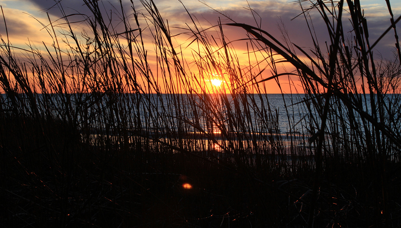
As we tarry along the Croatan Sound frontage, interestingly, the sinking sun finds its way from behind the clouds in the western sky.
With the light regaining some strength the sunset takes on a changing hue: Above and below. photos by Stan DeatherageClick image to expand.
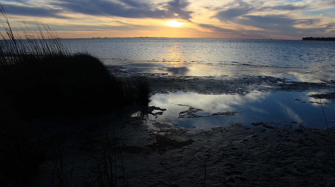
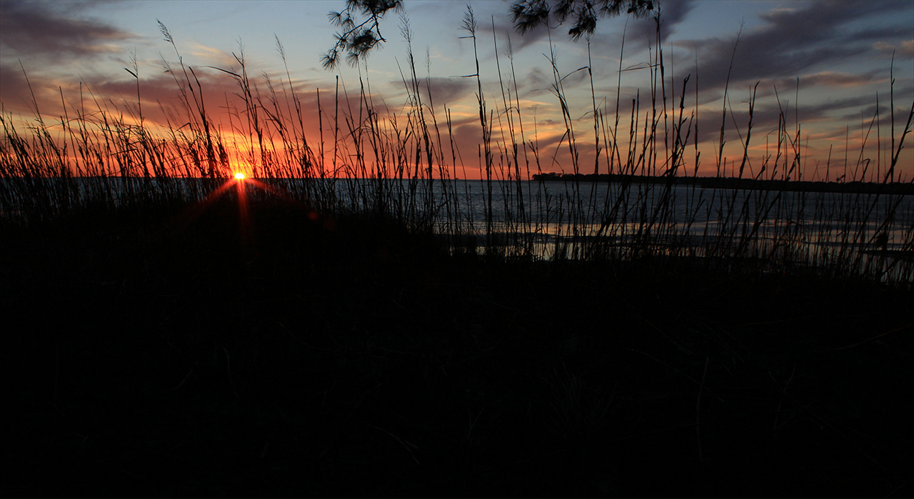
As the hue brightens, I take more images from varied vantages to capture the mood before we make our trek to northwestern North Carolina.
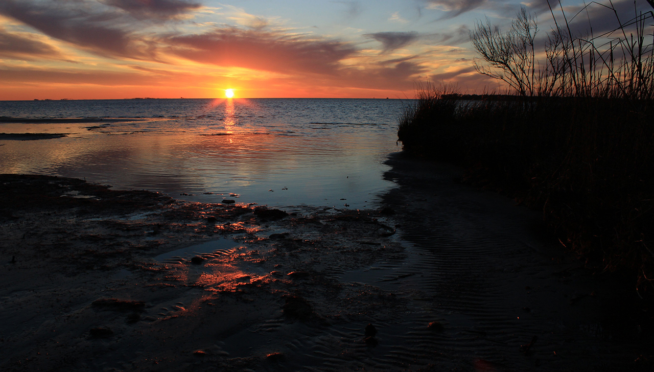
Sunsets can be wondrous, with or without the reddening color spectrum of the horizon's influence, and this day was no exception: Above and below. photos by Stan DeatherageClick image to expand.
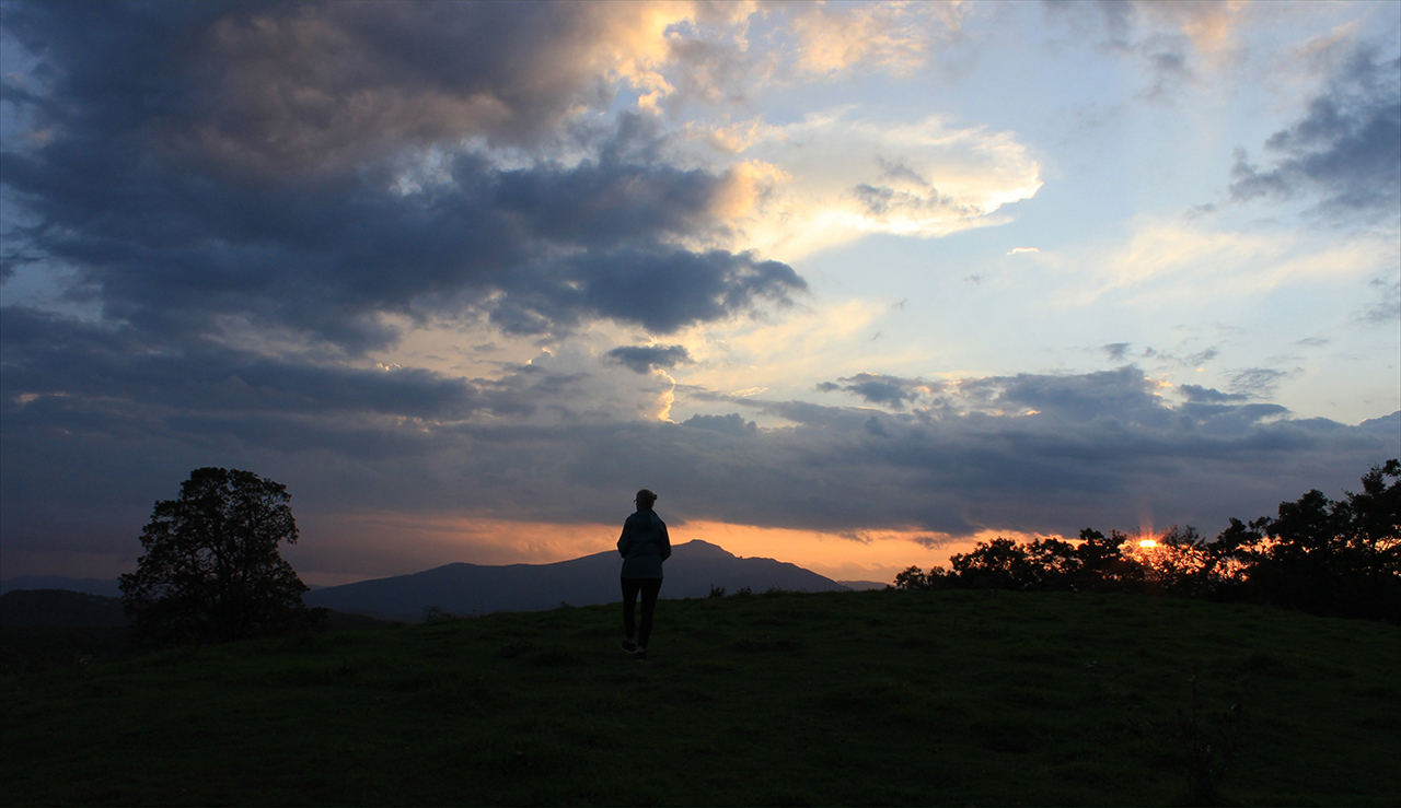
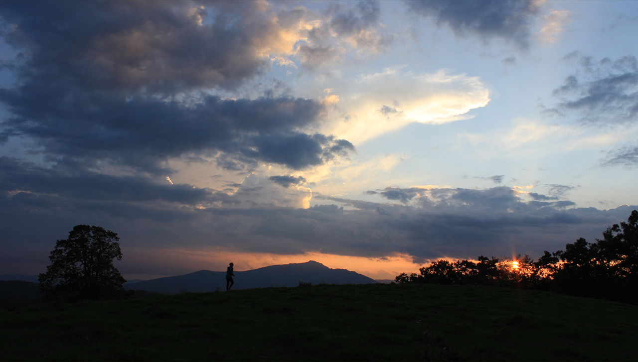
After we spend some time here in northeastern North Carolina, we find our virtual way to northwestern North Carolina to a most interesting sunset at Moses Cone Memorial Park, near Blowing Rock, NC.
We, Lynn and I, enjoy walking on the many trails surrounding Moses Cone and this sunset, with Calloway Peak in the background was no exception: Above and below. photos by Stan DeatherageClick image to expand.
Images of places in North Carolina, and in particular Downeast, taken by Stan Deatherage - currently for sale as high quality, framable prints - have been assembled here.