Publisher's note: It is our hope that we find the time to do create more of these pictorials, so we begin with one that was published a few years back, to get back in the groove.
The trip was as long of a 97 miles as I have ever traveled - from south Myrtle Beach to historic Charleston, South Carolina. It wasn't due to heavy traffic or because I drive slow - it wasn't and I don't. It was simply because Charleston was the fourth destination after three previous stops, and I still had quite a few pictures to take, and miles to walk on this August day, this interminably hot afternoon, but I was on a mission. The mission: Charleston's historic district chronicled in images.
My day started at about dawn and I had already spent quite a bit of time walking
Pawleys Island,
Georgetown, South Carolina, and
Hampton Plantation / Francis Marion National Forest while taking quite a few pictures. Now it was Charleston's turn to be recorded in one man's vision on one man's sweltering afternoon.
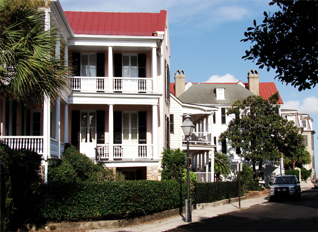
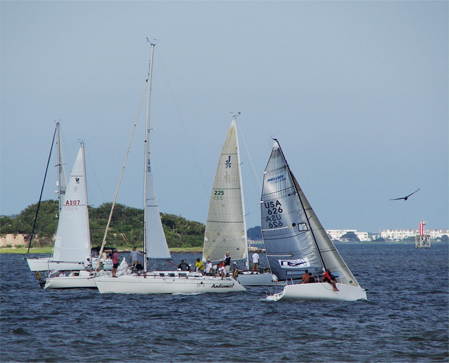 That late afternoon of August 18, 2010, there was a mini-regatta in Charleston Harbor just off my vantage point on the waterfront along East Battery Blvd. The island where the Charles Pinckney National Historic site is located is in the background: Above. Along the streets intersecting the East Battery Blvd. are these Antebellum Homes with many gabled roofs: Below. images by Stan Deatherage
Charleston was arguably one of the most influential cities in the history of the Colonial United States of America. It was also the cultural, and the colonial capital of the State of South Carolina. It was the largest port in the southern colonies, and it is today still fairly well preserved - a historical record in the architecture of those who once inhabited this city on the bay.
Charleston began as Charles Towne in 1670, located on the west bank of the Ashley River Albemarle Point). The current county seat of Charleston County, since 1901 when the county was created, is now located at Oyster Point where it has remained since 1680. The city nearly remains as it did in Antebellum times, but now occupies the entirety of Charleston Peninsula, which is the body of land with the Ashley River bordering the south bank and the Cooper River bordering its north bank. Interestingly, both rivers bordering the peninsula were named for Lord Anthony Ashley Cooper.
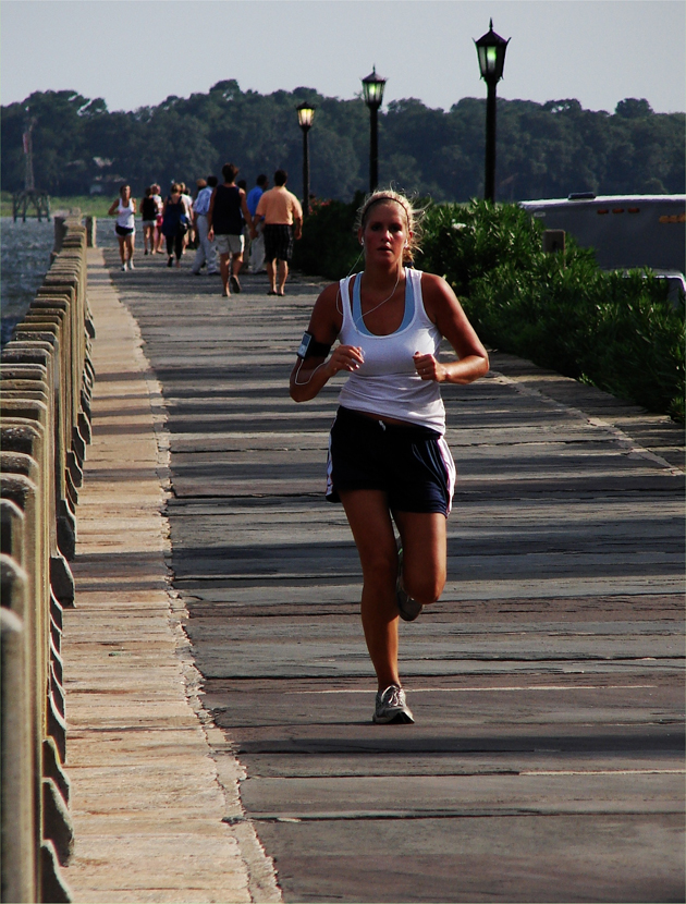
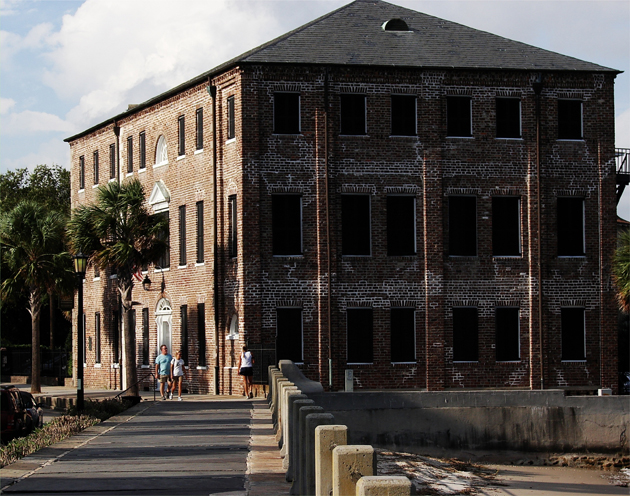 On the north side of East Battery is this impressive structure, it looks to be of Federal style architecture, an old warehouse or customs house. Currently is controlled by Historic Charleston Foundation: Above. There are numerous institutes of higher learning in and around Charleston, and thankfully there are coeds, who are interested in staying fit, and beginning a lifestyle where that maxim is paramount. Along this waterfront promenade on the north side of East Battery Blvd, one may walk or run, as this young woman is shown doing above, and enjoy the sea air, the panoramic view: Below. images by Stan Deatherage
 Click here
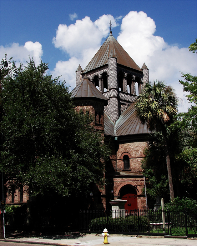
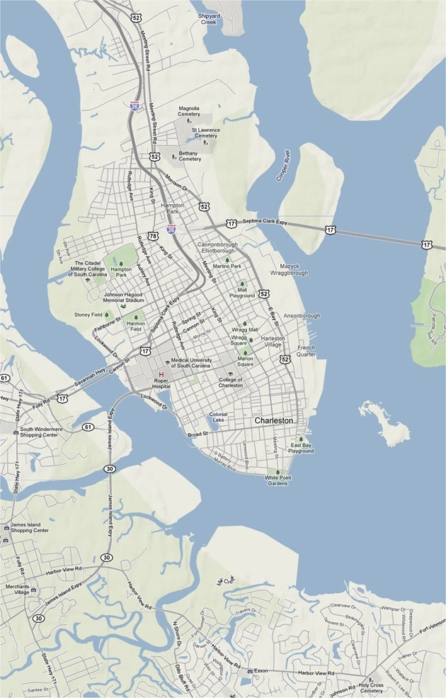
 for an enlarged view of eastern central South Carolina: Above. The Church in this image is the Circular Congregational Church on Meeting Street. The grounds underneath this church is some of the oldest in the city, with some of the grave sites over 300 in existence. Many churches have stood on these grounds, but the current church has been here since 1892: Below.
image by Stan Deatherage