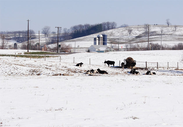
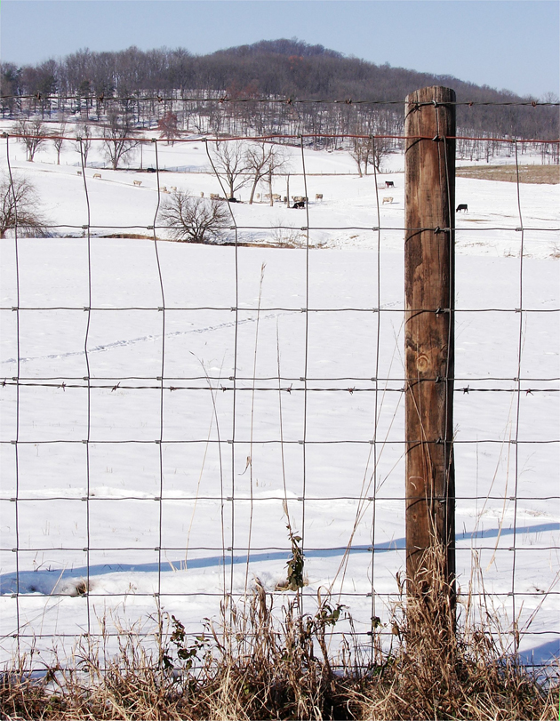
Dairy and livestock farms are well represented in this sector of the Shenandoah Valley, just outside Dayton: Above. And south of Dayton, still in Rockingham County, on Scenic Highway 42: Below.
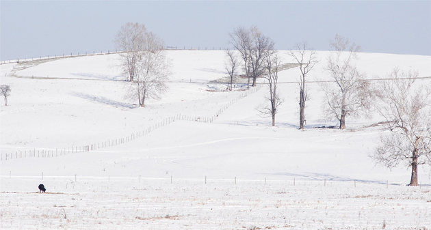
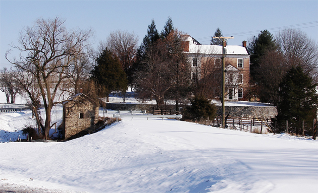
The snow covered hills at the State Highway 731 was so beautiful, with the cattle searching tufts of unfrozen grass beneath the snow: Above. I liked this image of this snow covered estate, built of mostly stone, inside the curve at that intersection: Below.
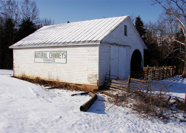
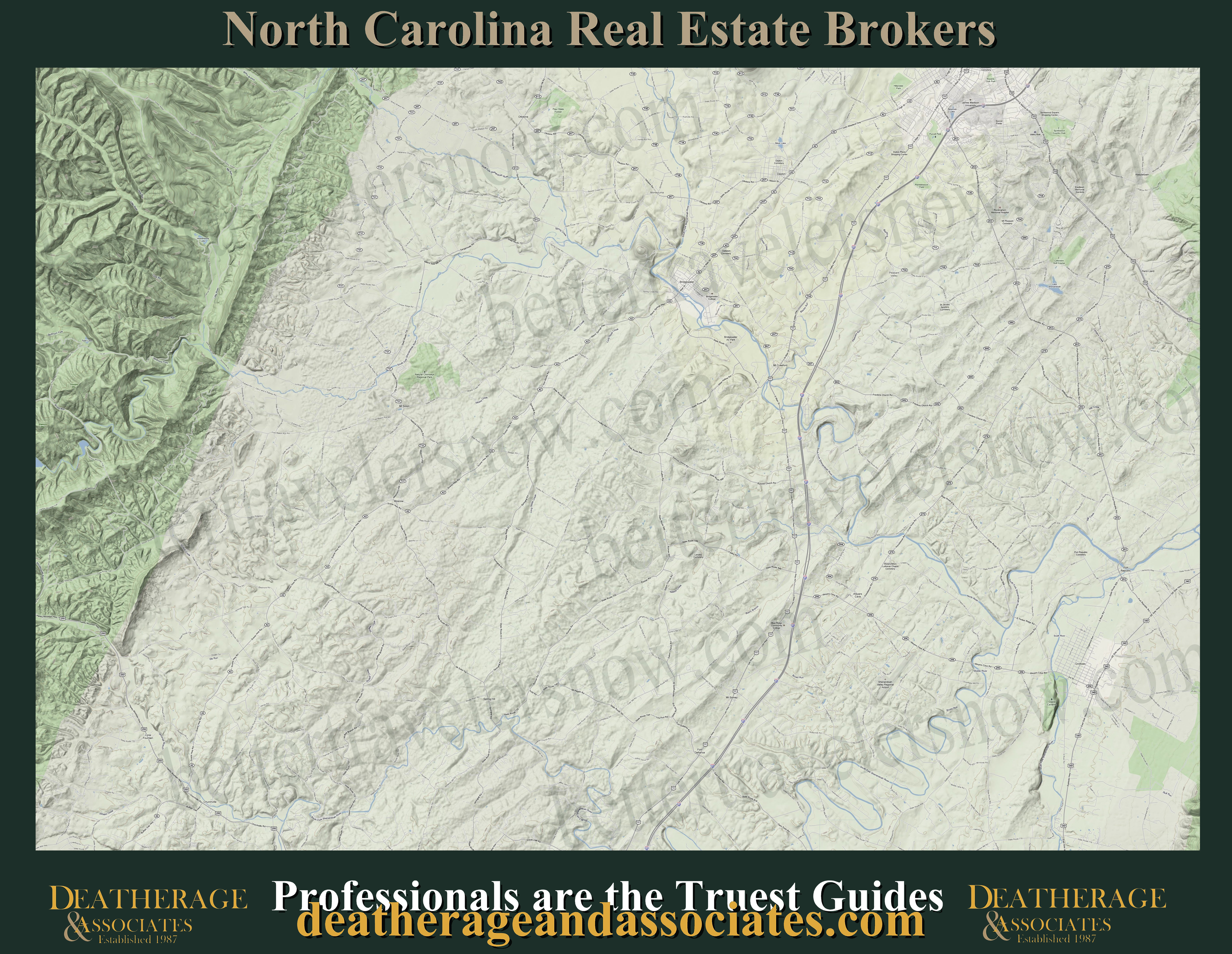
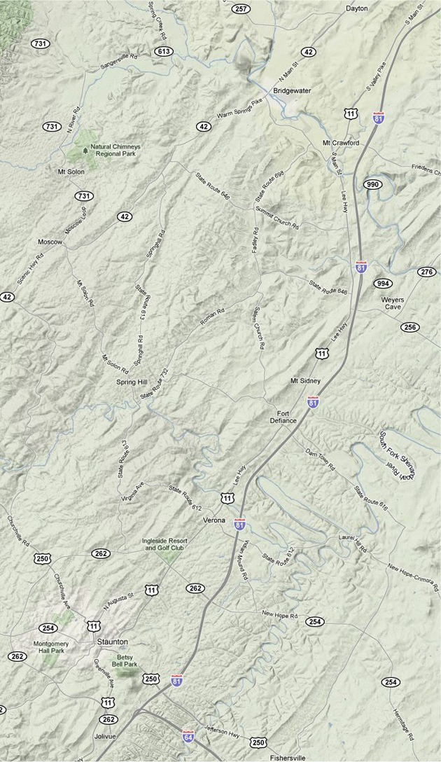
This old barn at the aforementioned intersection makes its stand as the perfect marking landmark on Scenic Highway 42 to route one's trip to the Mt. Solon area and the Natural Chimneys here in northern Augusta County: Above. The terrain / location map below is your best guide to get you to Staunton, Va and to navigate this sector of the Shenandoah Valley: Below.
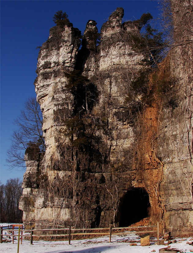
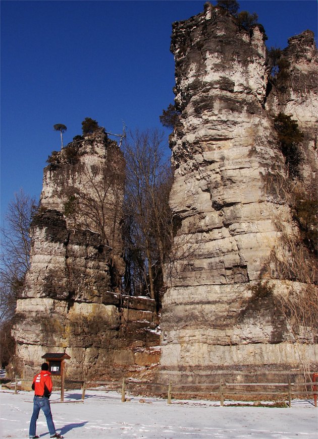
The Natural Chimneys, just a few miles east of the Shenandoah Mountain Range are an outstanding representation of how the eons of time can shape the land. This sedimentary rock formation has been thrust up by the subduction of the oceanic plates, and the then worn down by water, wind, and most dramatically by glacial activity. It took millions of years to build these natural chimneys and they are quite and unusual rock formation in the Shenandoah Valley: Above and below.