 Click here
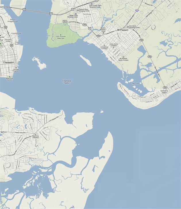
 for an enlarged view of eastern / central South Carolina.
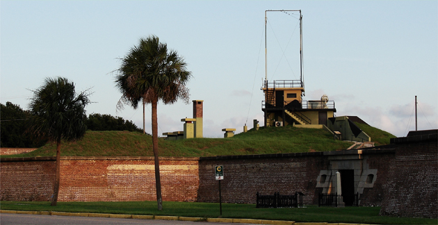
Sullivans Island is the most northern point at the mouth of Charleston Harbor. The community now has about 1900 year-round residents, but has been in existence since before the Revolutionary War (1776) when Sullivan's Fort made the defense of the island and the harbor of the colonial port of Charleston. Sullivan's Fort has since been renamed Fort Moultrie, and eventually became a facility where a contingent of U.S. Army soldiers were stationed for multiple decades.
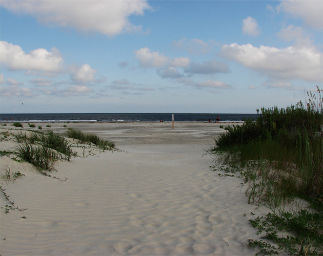
The most wonderful aspect of being stationed at Fort Moultrie is the beach: Above. This next image faces south and shows the thin tree line of the southern shore of Charleston Harbor: Below. images by Stan Deatherage
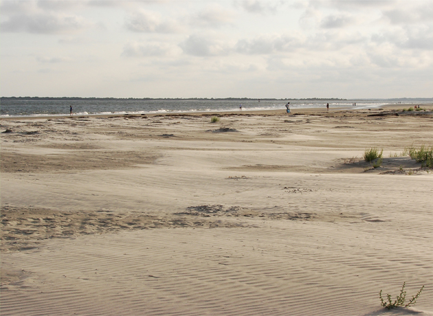
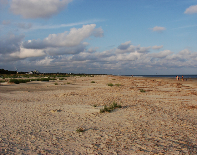
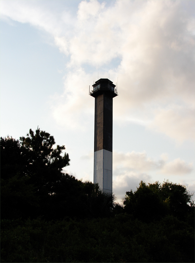 This military-class light station is a drab reminder that this has long been the location of multiple military forts: Above. Looking north up the island is this sandy beach that is so reminiscent of North Carolina's Outer Banks minus the oversized sand dunes: Below. images by Stan Deatherage
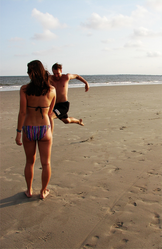
While I was on the beach of Sullivans Island, I noticed this young man running, with abandon, somewhat like my two-a-days during the "Dog Days of Summer" each football season. Of course, I questioned his purpose and then I noticed the "hot chick." Maybe he wanted to show off a little.
I introduced myself and told the young man, as he requested, that I would take his picture, and if he wanted a copy, to contact me. He never contacted me. Maybe he didn't win "the hot chick" after all: Above. image by Stan Deatherage
T
his image is from the front of Fort Moultrie. During the second world war this fort was standard along the shoreline near important harbors that need defending. During those days of heightened fear of an enemy that cruised just miles offshore, submerged in U-boats, wreaking havoc in the shipping lanes of the Atlantic Corridor, it was necessary to keep batteries fully armed with deadly howitzers: Below. image by Stan Deatherage