

The Human Touch Revealing All that is Real


Fort Fisher


Publisher's note: We believe the subject of history makes people (i.e., American people) smarter, so in our quest to educate others, we will provide excerpts from the North Carolina History Project, an online publication of the John Locke Foundation. This fourteenth installment is provided courtesy of the North Carolina History Project.
Until its capture by the Union army in 1865, Fort Fisher was the largest earthwork fortification in the world. The "Gibraltar of the South" protected the port of Wilmington and ensured that the Confederacy had at least one "lifeline" until the last few months of the Civil War. Confederate blockade runners had little difficulty eluding the U.S. blockade, and Colonel William Lamb, the fort's commander from 1862 to 1864, organized their efforts. The runners delivered goods in Wilmington, and The Wilmington and Weldon Railroad transported these goods to supply Robert E. Lee's Army of Northern Virginia.
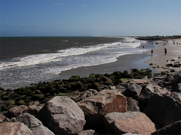
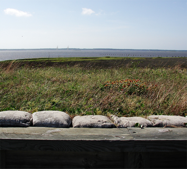
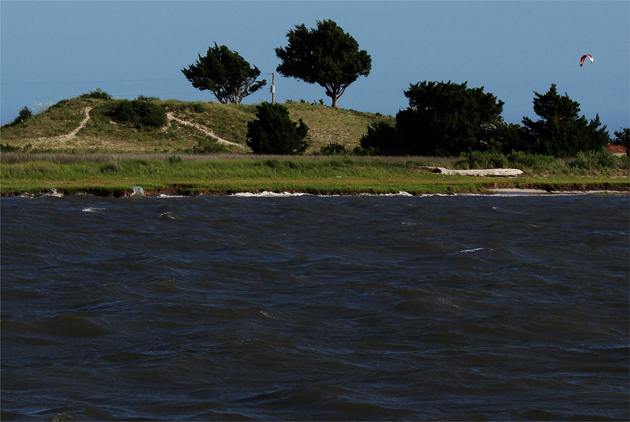
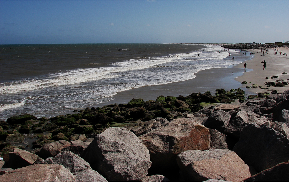
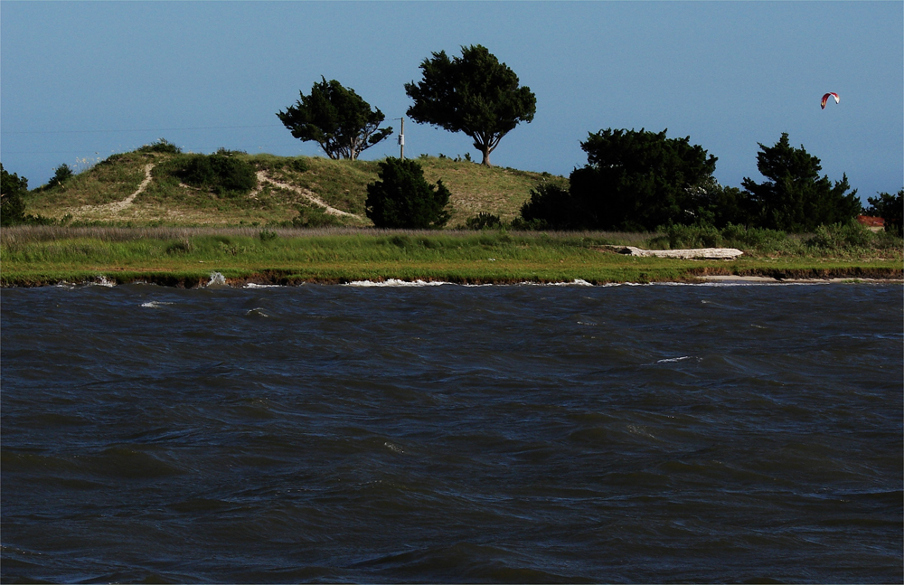
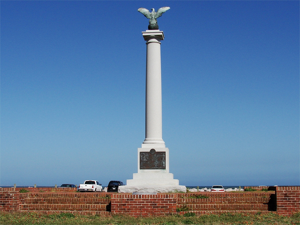
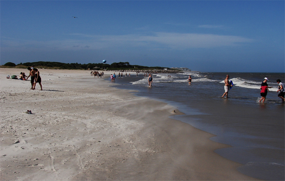
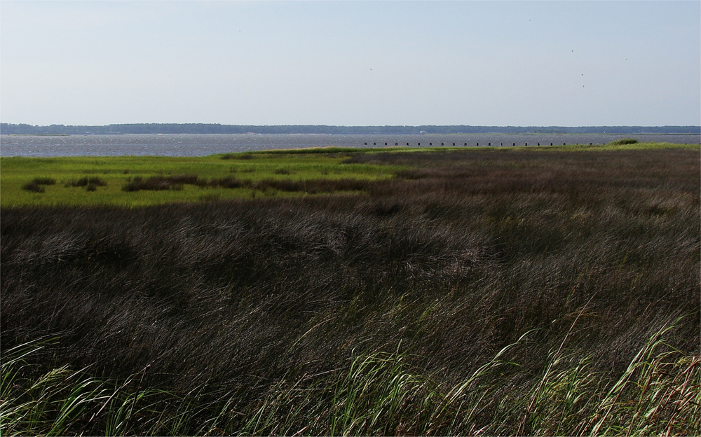
Fort Fisher, an earthen fort, stood watch, for the Confederate States, over the Atlantic Ocean, and the Cape Fear River. The rock stabilized shores of Kure Beach, just east of the fort, are well enjoyed today: Above. The Cape Fear River, just to the west of Fort Fisher, is the access point to North Carolina's largest port in Wilmington, NC: Below. photos by Stan Deatherage Click the picture to expand to as much as 1000 pixels wide within most expanded images, and then push the arrows embedded in the center edge of the play-box to access the gallery, and slide new images into viewing within the center of the screen.
Fort Fisher was a formidable post. Several times Lamb and his men withstood Union attacks. In December 1864, for instance, the Union had loaded a warship with 185 tons of gunpowder and floated it approximately 200 feet from the "L" shaped fort. The fort withstood the explosion and the ensuing barrage that has been described as "the most awful bombardment that was ever know for the time."
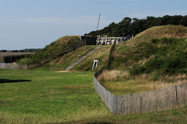
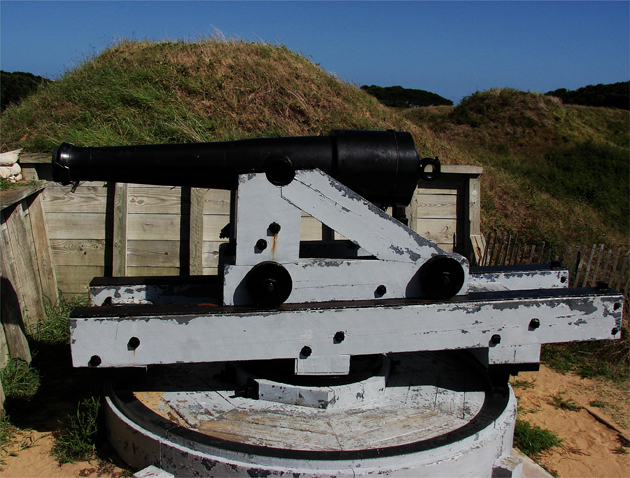
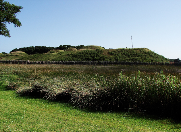
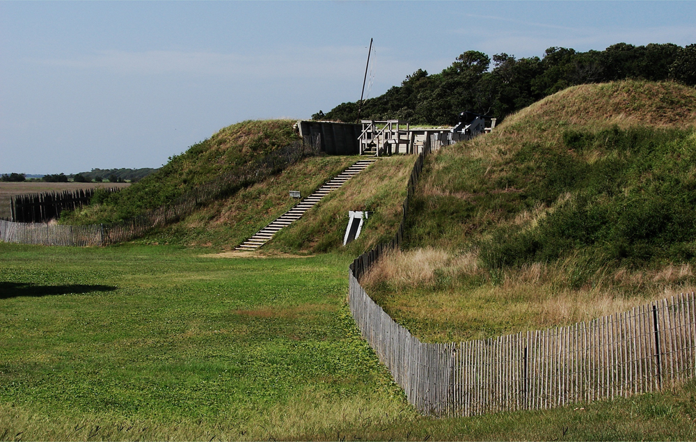
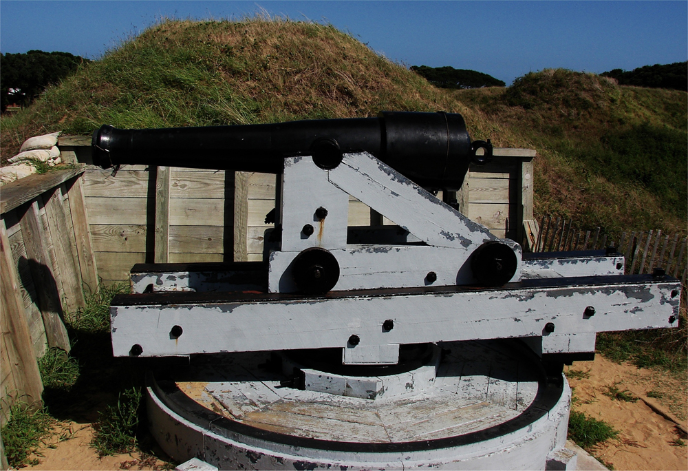
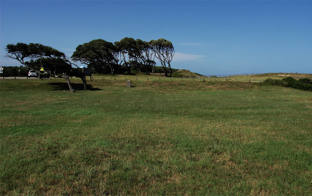
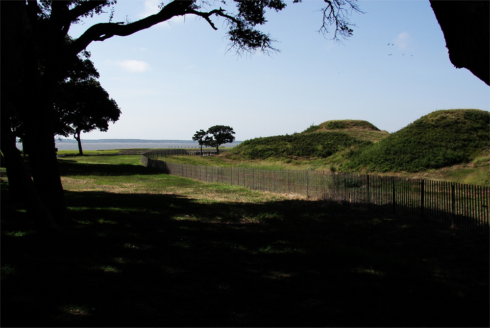
These earthen battlements still stand watch to the east: Above. Upon the fortified earthen hill these powerful, pivoting cannon were once feared by Union gunboats: Below. photos by Stan Deatherage Click the picture to expand to as much as 1000 pixels wide within most expanded images, and then push the arrows embedded in the center edge of the play-box to access the gallery, and slide new images into viewing within the center of the screen.
Confederate fortune ran out in January 1865. On January 12, Union ships bombarded the fort. Some have estimated the Union firepower to be approximately 100 shells per minute. The incessant Union fire continued until mid-day on January 15, when Union troops stormed the fort from all sides. Hand-to-hand combat ensued. A few hours later, Union troops captured the fort. With the fort's capture, the Confederacy lost only remaining supply line to its infantry protecting the Confederate capital, Richmond, Virginia.
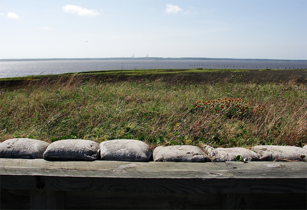
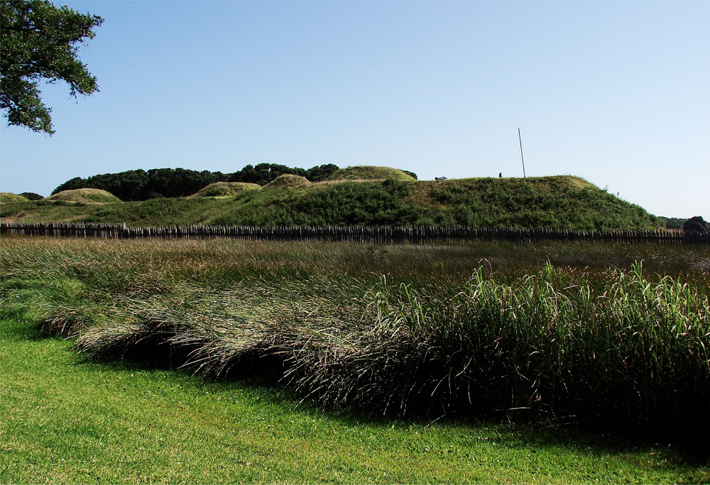
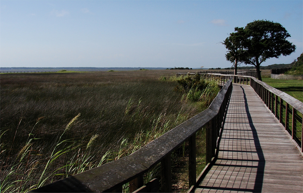
This redoubt of the expansive fort face the Cape Fear River: Above. Additional redoubts remain, at the southern tip of the peninsula, to face the mouth of the Cape Fear River: Below. photos by Stan Deatherage Click the picture to expand to as much as 1000 pixels wide within most expanded images, and then push the arrows embedded in the center edge of the play-box to access the gallery, and slide new images into viewing within the center of the screen.
Sources:
John G. Barrett, The Civil War in North Carolina (Chapel Hill, 1963); John S. Carbone, The Civil War in Coastal North Carolina (Raleigh, 2001); William S. Powell ed., Encyclopedia of North Carolina (Chapel Hill, 2006); William S. Powell, North Carolina Through Four Centuries (Chapel Hill, 1989).
Go Back
Until its capture by the Union army in 1865, Fort Fisher was the largest earthwork fortification in the world. The "Gibraltar of the South" protected the port of Wilmington and ensured that the Confederacy had at least one "lifeline" until the last few months of the Civil War. Confederate blockade runners had little difficulty eluding the U.S. blockade, and Colonel William Lamb, the fort's commander from 1862 to 1864, organized their efforts. The runners delivered goods in Wilmington, and The Wilmington and Weldon Railroad transported these goods to supply Robert E. Lee's Army of Northern Virginia.
Fort Fisher was a formidable post. Several times Lamb and his men withstood Union attacks. In December 1864, for instance, the Union had loaded a warship with 185 tons of gunpowder and floated it approximately 200 feet from the "L" shaped fort. The fort withstood the explosion and the ensuing barrage that has been described as "the most awful bombardment that was ever know for the time."
Confederate fortune ran out in January 1865. On January 12, Union ships bombarded the fort. Some have estimated the Union firepower to be approximately 100 shells per minute. The incessant Union fire continued until mid-day on January 15, when Union troops stormed the fort from all sides. Hand-to-hand combat ensued. A few hours later, Union troops captured the fort. With the fort's capture, the Confederacy lost only remaining supply line to its infantry protecting the Confederate capital, Richmond, Virginia.
Sources:
John G. Barrett, The Civil War in North Carolina (Chapel Hill, 1963); John S. Carbone, The Civil War in Coastal North Carolina (Raleigh, 2001); William S. Powell ed., Encyclopedia of North Carolina (Chapel Hill, 2006); William S. Powell, North Carolina Through Four Centuries (Chapel Hill, 1989).


Home
Contact
About
Service Rates
Privacy Policy
Follow on Facebook
Subscribe to Newsletters
Rss Feed
Keywords
Eastern NC Now & ENC NOW © Copyright 1998-2024 All Rights Reserved.
